
Saint-Benoît Pratique
- ZOOM SUR l'ACTU
- DROITS ET DEMARCHES EN LIGNE
- INFORMATION GENERALE VILLE
- FLEURS DE MAI, MARCHÉ AUX FLEURS
- LA COURSE DES PERES-NOEL
- LE JARDIN D'IMAGES
- Se déplacer à Saint-Benoît
- Plans de la ville et des quartiers
- La ville recrute
- Construire à Saint-Benoît
- Marchés publics
- LES NUMEROS D'URGENCE
- LES LIENS UTILES
Services
General presentation
Geography
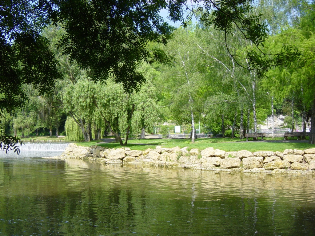
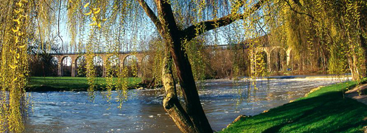
Situated in the Vienne Département, within the Poitou-Charentes Region, Saint-Benoît forms part of the “Communauté d’Agglommération du Grand Poitiers”. The town stands at 79 metres above sea-level, and lies close to both Poitiers and Ligugé. It covers an area of 13.6m² (population of 523per km²). Saint Benoît is dominated by a viaduct reserved for pedestrians. Nestling in green valleys with two rivers – the Clain and the Miosson – running through it, Saint Benoît offers visitors a truly privileged environment.
History

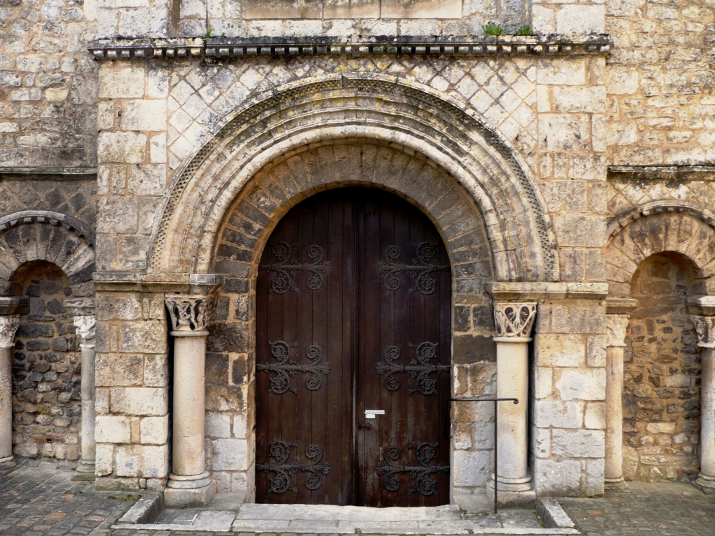
The History of the town of Saint-Benoît is bound to that of its abbey, founded in the VIIth century. It is hardly surprising then that the town figures on the Route of Historical Abbeys of the Haut Poitou – a perfect excuse to visit Saint-André abbey-church (XIth. century).
Before becoming Saint Benoît, the town underwent several name changes; in Gallo-roman times: Quinciacius, in 1027: “Abbas sancti benedicti de quinciacus”, in 1730 : Saint-Benoît-de-Quinçay before being renamed “Quinçay-les-Plaisirs” during the French Revolution.
Saint-Benoît town also includes hamlets, farms and numerous outlying areas and localities : Naintré, la Chaume, Flée, la Varenne, le Fief Clairet, l’Ermitage, Mauroc, la Cossonnière, Gennebry„ la cadoulière, la Braudière, le Petit-Château, la Berlonnière, la Médoquerie, la Pironnerie, la marnière, la Grand’ Maison et Puyjoubert, Chantejeau, la Grimaudière….
Saint Benoît’s Heritage
During the summer of 2010, the Cultural and Heritage departments of the Communauté d’Agglomération du Grand Poitiers held an exhibition about living in Poitiers and the surrounding area in the Dortoir aux Moines (Monks’ dormitory). The exhibition gave an insight to Saint-Benoît’s rich urban and rural heritage.
An inventory of the town’s cultural heritage has been ongoing since 2005; the Communauté d’Agglomération du Grand Poitiers has brought out a brochure on it.
See brochure : Histoire & Patrimoine Saint Benoît 01/2011 (pdf, 1.08Mo)
Do not hesitate to visit the interactive map at http://www.ville-saint-benoit.fr/carte-des-loisirs/ to discover Saint Benoît’s cultural heritage.
The general inventory of the Poitou-Charentes’ Cultural Heritage indicates the town’s rich cultural past.